**Monster Hail and Severe Storms Threaten 50M+ Lives Across Central U.S**
Key Takeaways:
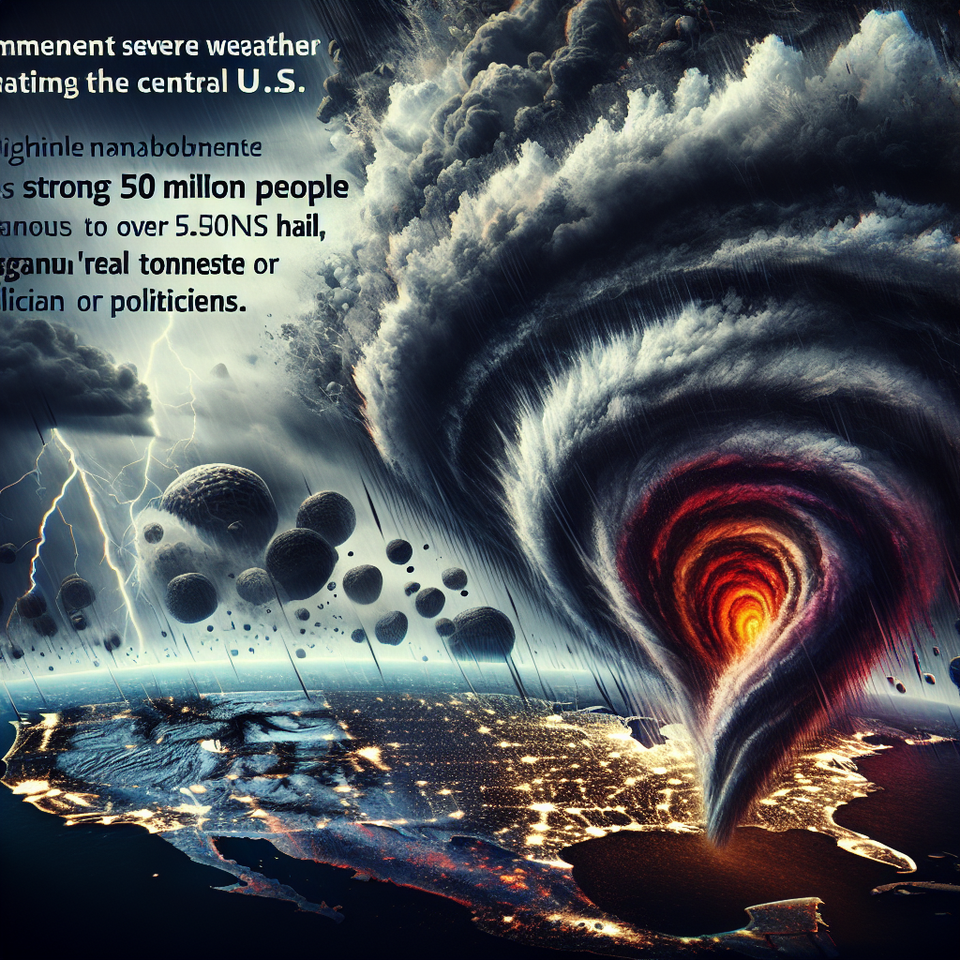
- Severe weather, with potential for strong tornadoes and “monster” hail, threatens over 50 million people across the Central U.S.
- The severe weather is expected to develop across a corridor from Wisconsin to Texas, beginning early Friday afternoon.
- A unit of the National Weather Service has issued a Level 3 out of 5 risk for severe thunderstorms across a large swath of the Central U.S.
Central U.S. — Dangerous severe weather is set to develop across the Central United States, potentially bringing strong tornadoes, hurricane-force wind gusts, and “monster” hail to parts of the Midwest and Plains. This threatening weather pattern has driven the topic ‘hail storms’ to trend heavily on Google.
Unstable Atmospheric Conditions
The weather system is a result of unstable atmospheric conditions, with a dip in the jet stream acting as an atmospheric conveyor belt for storms and an area of low pressure. The storms are expected to ignite in the Central U.S. along the line between dry air from the west and moist air from the Gulf, which is heating up the eastern part of the country. The storms may form along a 700-mile corridor encompassing parts of Oklahoma City, Kansas City, Missouri and La Crosse, Wisconsin.
Historical Weather Patterns
Severe weather systems, such as this one, develop due to a mix of various environmental and climate factors. Historical data shows a pattern of such occurrences in the Central U.S., particularly during spring and early summer when atmospheric transitions stimulate storm development. Rising temperatures play a substantial role in creating atmospheric instability, which is a crucial element in the formation of supercell storms and tornadoes. In addition, the vast flat geography of the Plains also contributes to the development and intensification of these storms.
Projected Impact and Future Outlook
These weather conditions could lead to significant property damage and threats to safety. The storms are expected to produce “monster” hail – hailstones measuring more than 3 inches in diameter, and wind gusts of 75 mph or greater. Additionally, the risk of strong (EF-3) tornadoes remains high, especially for parts of Wisconsin, Minnesota, and northeast Iowa. Moving towards Saturday, the entire system is projected to shift east into the Ohio Valley and Great Lakes regions, bringing with them, potentially, damaging winds.
Frequently Asked Questions
Q: Why is ‘hail storms’ trending?
A: ‘Hail storms’ is trending due to the severe weather threat across the Central U.S., where storms could generate “monster” hail alongside strong tornadoes and damaging winds, impacting over 50 million people.
Q: What happens next?
A: Weather agencies will continue to monitor the situation closely, informing and issuing further warnings if necessary. Everyone in the threatened regions should stay alert and updated about the weather conditions.
#SevereWeather #HailStorms #TornadoWarning #CentralUS #SafetyFirst