**NOAA Predicts 83% Chance of El Niño Appearance by October**
Key Takeaways:
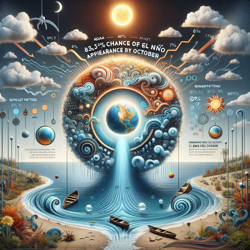
- The National Oceanic and Atmospheric Administration (NOAA) predicts a 62% chance that El Niño conditions will appear from June through August, growing to 83% by October.
- El Niño, a warming of the ocean waters in the tropical Pacific, affects global weather patterns and can increase the likelihood of a wet winter in California.
- Reports predicting a “Super El Niño” have sparked hype, but meteorologists underscore that these conditions don’t guarantee specific, exact weather outcomes.
California — News has been ablaze with warnings of a potential “Super El Niño” due to the NOAA’s forecast of a 62% chance of El Niño conditions emerging from June to August. By October, this probability escalates to an 83%. Nonetheless, leading meteorologists caution that these predictions don’t warrant specific climate conclusions.
Deciphering El Niño Predictions
Jan Null, an experienced meteorologist and the founder of Golden Gate
Weather Services, emphasized in a recent interview that the El Niño, a phenomenon marked by the warming of the ocean waters in the tropical Pacific, can significantly influence global weather patterns. It can create warmer and drier conditions in the Pacific Northwest and Canada, as well as wetter-than-normal conditions across the United States’ southern tier. However, these are generalized tendencies, far from guaranteed outcomes.
Key El Niño Misunderstandings
Despite popular belief, Null iterated that El Niño and its counterpart, La Niña, do not simply equate to a guaranteed wet water or definite drought for California. Since1950, there have been 27 El Niños, with the Bay Area experiencing below-normal rainfall in 12 of these occasions, while the rest saw above-normal rainfall. Null emphasized that these climatic events increase the odds of specific weather patterns but do not confirm them.
Super El Niño Projections and Climate Change Impacts
Projections of a “Super El Niño” with unusually warm waters developing later this summer have ignited much hype and anticipation. Such excitement arises from memories of the wet winter of 1997-98 during a past strong El Niño. Nonetheless, Null pointed out that such potent El Niños have not consistently resulted in exceptionally rainy conditions. He further underscored the influence of climate change on these weather events, noting that the warmer the oceans are, the wetter the storms tend to be. Similarly, droughts and heatwaves tend to be drier and hotter due to global warming.
Frequently Asked Questions
Q: Why is El Niño trending?
A: El Niño is currently trending due to the NOAA’s announcement of a likely appearance of these conditions over the summer, with the probability peaking in October. This has led to much speculation and hype about the potential for a “Super El Niño.”
Q: What happens next?
A: While there’s a high chance of El Niño developing, it doesn’t guarantee specific weather outcomes. Meteorologists will continue to monitor the condition closely to provide more accurate forecasts.
#ElNiño #NOAA #GlobalWeatherPatterns #ClimateChange #SuperElNiño