**Freeze Watch Issued as Cold Front Targets Central Florida After Rare Heat Spike**
Key Takeaways:
- Unseasonable warm weather in Central Florida will give way to freezing conditions by Tuesday.
- A “freeze watch” is in effect for northern Central Florida counties due to a rapidly approaching cold front.
- Weather models forecast “feels like” temperatures could plunge into the low 20s, raising concerns for vulnerable populations and infrastructure.
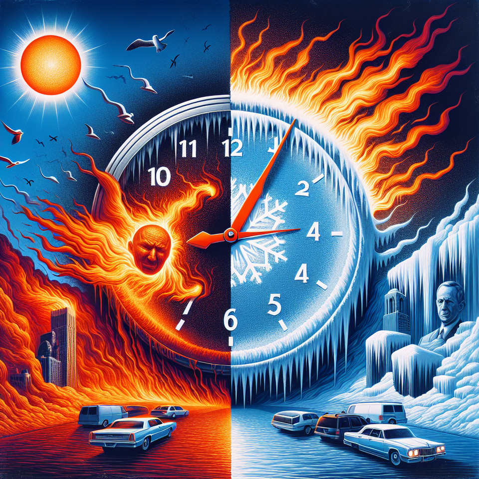
Orlando, Florida — A “freeze watch” is now in effect across portions of Central Florida as residents brace for a dramatic temperature drop early next week. The region, which has seen record-challenging heat in recent days, is expecting a swift reversal, with freezing temperatures possible by Tuesday morning in multiple northern counties.
From Record Highs to Overnight Freezes: Weather Whiplash Hits Florida
In a weather pattern highly unusual for late January, **Central Florida** saw highs soar into the **low 80s** in recent days, driven by a moist air mass and a strong subtropical jet stream. Forecasters now warn that this warmth is rapidly giving way to an impending arctic push. According to **David Nazario**, digital meteorologist for WKMG ClickOrlando, a cold front associated with a major winter storm system will arrive in the region by late Monday.
The **National Weather Service** has issued a freeze watch for inland areas, especially in **Lake, Marion, Sumter, and Alachua counties**, where wind chill values could reach the low **20s Fahrenheit** by early Tuesday morning. These areas will feel the earliest and most intense effects of the approaching cold air mass. The cold will persist through **Wednesday morning**, with only moderate recovery during daytime hours due to lingering wind chills.
Weather Dynamics Behind the Sudden Plunge
This cold snap comes on the heels of a **nationwide winter storm** currently impacting much of the Lower 48 states with **snow, ice, and freezing rain**. While Central Florida has avoided the brunt of that storm’s precipitation elements, it is not escaping its polar tail. A **powerful low-pressure system** dragging down frigid air from the north is interacting with **subtropical moisture**, creating sharp contrasts in both temperatures and atmospheric pressure across the Southeast.
“When you have a strong push of cold air and an aggressive jet stream plunge intersecting with southern warmth, you get extreme transitions like this,” Nazario explained during his Friday evening weather update. The unusually shallow and dense layer of cold air approaching from the north will take some time to reach the surface, which is why the **initial warmth on Sunday and Monday** precedes the freezing conditions expected Tuesday.
This meteorological tug-of-war is typical of **El Niño-inspired winter patterns**, though the extremity of the temperature swings has taken even seasoned forecasters off guard. While adjacent states are experiencing snowfall and ice, Florida’s peninsular geography keeps such precipitation at bay—but still exposes it to rapid temp fluctuations driven by changes in wind direction and cloud cover.
Agriculture and Infrastructure at Risk as Temperatures Fall
Florida’s agriculture industry, especially citrus and vegetable farmers in northern interior counties, are on high alert. Freezing conditions—even for a few hours—can damage or kill crops not resistant to cold. Counties under the freeze watch are the most agriculturally active parts of Central Florida and could suffer losses if mitigation efforts are not in place.
Local authorities are also warning residents to prepare homes and outdoor plumbing for the cold. **Orlando Utilities Commission** issued reminders on Friday evening urging residents to wrap exposed pipes and leave indoor faucets dripping to prevent freeze-related bursts. **Shelters** across Marion and Sumter counties are preparing emergency protocols for their homeless populations, with extended hours and increased capacities expected Monday night through Wednesday morning.
Meanwhile, coastal areas are dealing with a different threat: **elevated rip currents and aggressive surf** along Central Florida’s Atlantic shoreline. As **easterly winds** intensify ahead of the front, beachgoers are advised to swim near lifeguard stations and remain vigilant. The **high surf advisory** continues through Monday evening, posing risks for both swimmers and small vessels.
Looking Ahead: Rain, Wind, Then A Gradual Warmup
Although the cold will be dramatic, it won’t last forever. Forecasts show a slow return to more typical winter temperatures by **Thursday**, with highs climbing into the mid-to-upper 60s. However, **multiple rain systems** are queued up behind the cold front, especially as February begins. The final days of January could bring intermittent rain chances, though no additional freeze warnings are currently expected after midweek.
Still, forecasters caution that **the freeze watch could escalate to a freeze warning** if upcoming model runs continue to suggest prolonged sub-32°F temperatures. Residents are encouraged to monitor updates from the **National Weather Service** and local meteorologists through Monday.
Frequently Asked Questions
Q: Why is “freeze watch” trending?
A: Central Florida is under a freeze watch due to a rare late-January cold front that could drop wind chill values into the low 20s across several counties.
Q: What happens next?
A: Extremely cold mornings are expected Tuesday and Wednesday, with relief beginning Thursday and rain chances increasing toward the end of the month.
#FreezeWatch


