**Dense Fog Advisory Brings Travel Disruptions Across Central West Florida**
Key Takeaways:
- Dense fog advisory issued for Central West Florida through early Friday morning
- Visibility reduced to as low as one-quarter mile in many areas
- Motorists urged to use caution amidst hazardous travel conditions
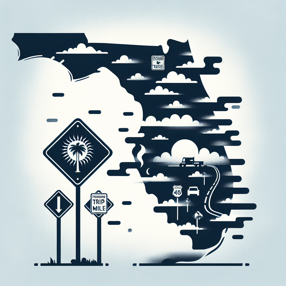
Tampa Bay, FL — The National Weather Service has issued a dense fog advisory for Central West Florida, warning residents about limited visibility and poor driving conditions through early Friday morning. The advisory, which quickly grew to become one of Google’s trending topics, highlights increased public concern over hazardous travel and weather disruptions.
Advisory Covers Multiple Counties Amid Visibility Concerns
The dense fog advisory was issued late Wednesday night and remains in effect through at least 10 a.m. Friday, according to the Tampa Bay office of the National Weather Service (NWS). It includes Pinellas, Hillsborough, Pasco, Hernando, Citrus, and surrounding counties. Visibility across large parts of the region, including major arterial roads such as I-275 and U.S. 19, has dropped to less than one-quarter mile in some areas, triggering alerts for motorists and commuters.
The NWS warned, “Motorists should slow down, use low beam headlights, and leave plenty of distance ahead of vehicles.” Several local school districts and municipalities posted alerts on social media cautioning residents about potential delays or disruptions to morning transit and delivery services.
Weather Pattern Behind the Fog Formation
This week’s persistent fog can be attributed to a combination of high humidity, light winds, and cooling overnight temperatures that create near-ideal conditions for fog development. Florida’s peninsular geography and coastal influence further trap moist air, making fog events more frequent during winter months.
Meteorologists say this particular fog event was exacerbated by recent rain that left high residual humidity in the region. With a strong marine layer and light to calm winds overnight, moisture condenses near the earth’s surface. “This is common in the Gulf region during the transition between winter and spring,” said Paul Close, a meteorologist at NWS Tampa Bay. “However, the extent and thickness of this fog has been unusually disruptive.”
Travel Disruptions and Safety Warnings Across Florida
Florida Highway Patrol has reported multiple weather-related minor accidents, mostly in the Tampa Bay area. The agency issued public traffic advisories, urging drivers to “allow extra travel time and avoid sudden stops.” Several departing flights at Tampa International Airport experienced minor delays due to reduced visibility on the tarmac early Thursday morning.
Additionally, maritime operations across Tampa Bay and nearby ports have been monitoring fog density using radar and automated systems due to impaired navigation visibility, although no formal suspensions have been issued as of Thursday evening.
Public Reaction and Search Interest
As the advisory went into effect, “dense fog advisory” became one of the most searched terms on U.S. search engines. The spike in public interest was driven by safety concerns, disrupted work commutes, and increased incidents on the road. Social media users shared images of near-zero visibility in their neighborhoods, heightening awareness and prompting continued updates from local news outlets.
Experts believe this spike in real-time search analytics and online discussions is a result of increasingly digital-savvy populations turning to devices for weather and safety updates. “People want answers immediately—whether it’s for getting to work or school safely, or understanding whether it’s safe to fly or drive,” said Dr. Lauren Bailey, a digital behavior analyst at the University of South Florida.
What to Expect Heading Into the Weekend
The dense fog is expected to begin lifting gradually after sunrise Friday, although patchy fog could still linger into mid-morning hours. The National Weather Service predicts that a change in wind direction from the Gulf will bring in drier air by Friday night, helping disperse the remaining moisture and fog.
Despite this short-term improvement, forecasters warn that similar foggy conditions could return next week if warm, moist air returns and overnight cooling persists. This is especially important for schools, logistics firms, and public safety managers who may need to prepare contingency plans for future fog events.
Frequently Asked Questions
Q: Why is dense fog advisory trending?
A: The advisory is trending due to increased visibility hazards across Central West Florida, multiple travel disruptions, and heightened public concern on social media and search platforms.
Q: What happens next?
A: Fog conditions are expected to dissipate gradually by mid-Friday. Drier air moving in Friday night will likely reduce the chance of weekend fog, though weather agencies will continue to monitor for early next week’s conditions.
#WeatherAlert