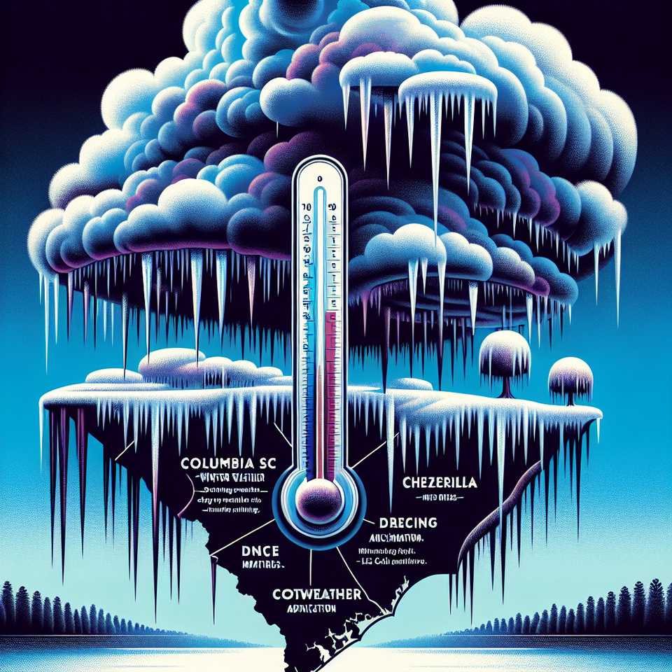
**Columbia SC Braces for Weekend Winter Weather and Dangerous Ice Conditions**
Key Takeaways:
- Freezing rain and ice accumulation are forecast for central and eastern South Carolina this weekend.
- A Cold Weather Advisory may be issued as temperatures dip into the teens early next week.
- First responders are preparing for power outages and hazardous road conditions.
Columbia, SC — “Weather Columbia SC” is trending as the Midlands and surrounding regions prepare for their first major winter weather event of 2024. Forecasts from the National Weather Service and local meteorologists indicate the possibility of freezing rain and minor ice accumulation beginning Saturday evening and continuing through Sunday morning, triggering increased alert levels and concern across South Carolina.
Winter Storm Brings Ice Threat to Columbia and Surrounding Regions
Winter weather alerts were issued for portions of South Carolina beginning this weekend, as a large low-pressure system moves northeast from the Gulf Coast. Joey Sovine, Live 5 First Alert Meteorologist, confirmed light precipitation will enter the region Saturday and possibly turn into freezing rain overnight through Sunday, especially in the Midlands, including Columbia, and up through Pee Dee and Upstate regions. Precipitation is expected to remain mostly light and scattered.
The greatest danger lies in ice accumulations of up to 0.10 inches, enough to cause slick roadways and localized power outages. Key counties at risk include Williamsburg, Clarendon, northern Berkeley, and Orangeburg. Areas east of the threat zone might experience icing but will likely stay above freezing near the coast.
Arctic Temperatures to Follow the Storm
Once the precipitation clears late Sunday night, a sharp temperature drop is forecast for early next week. Cold, dry Arctic air will move in behind the system, initiating a potential Cold Weather Advisory for much of South Carolina. Early projections indicate lows could fall into the teens west of Interstate 95, with coastal communities experiencing low to mid-20s Fahrenheit. Wind chills may push perceived temperatures into the upper teens, posing risks of hypothermia for anyone exposed overnight without adequate shelter or heating.
Why This Storm Is Creating Buzz
South Carolina — particularly Columbia and the Midlands — is not accustomed to frequent or heavy winter weather. Historically, the Palmetto State sees limited snowfall or ice episodes per year, often causing significant disruptions when they do occur. The timing of the current system—on a weekend and near a national holiday (Martin Luther King Jr. Day on Monday)—has amplified travel and infrastructure concerns. In response, emergency management offices state-wide are communicating with utility providers and law enforcement to stay on standby.
This particular weather event taps into a broader climatic pattern affecting the Southeast U.S., where shifts in jet stream activity and fluctuating polar vortex behavior have led to unseasonably cold outbreaks and increased precipitation along the Gulf Coast. The warm Gulf air mixing with arctic temperatures is setting up the ideal conditions for atmospheric instability and freezing precipitation.
Local Preparations and Emergency Guidelines
City and county officials in Columbia have issued guidance instructing residents to monitor weather alerts, charge electronic devices ahead of potential blackouts, and avoid unnecessary travel from Saturday night through Sunday morning. First Alert Weather Days have been declared for both Saturday and Sunday.
Utility companies are mobilizing additional repair crews, especially in the upstate and across the Midlands, where trees and ice-sensitive infrastructure are vulnerable to freezing rain. Motorists are advised to use extreme caution or delay travel until conditions stabilize on Sunday afternoon.
Next Week Could Bring Prolonged Cold
After the freezing rain ends early Monday, temperatures will continue to stay well below seasonal averages for several days. Forecast models are signaling extended cold conditions across the southeastern U.S., so residents should plan for a prolonged period of inactive heating systems and higher energy usage. Schools and businesses are also monitoring weather impacts to decide on opening statuses for next week.
Frequently Asked Questions
Q: Why is “weather Columbia SC” trending?
A: A winter storm with freezing rain and icy conditions is forecast for the Columbia area this weekend, prompting alerts and public concern.
Q: What happens next?
A: The critical ice window is Saturday evening into Sunday morning. Arctic air will move in afterward, with lows in the teens by Tuesday. Residents should prepare now.
#ColumbiaSC