**Severe Weather Rolls Through Greater Cincinnati, Public Urged to Stay Alert**
Key Takeaways:
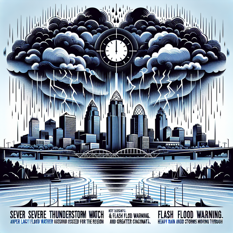
- A Severe Thunderstorm WATCH and Flash Flood Warning were issued for Greater Cincinnati and surrounding counties respectively.
- Heavy rain and storms moved through the region, with an expected decrease in intensity as they approach Cincinnati.
- Another rain chance predicted for Tuesday night with a significant drop in temperatures to follow.
Cincinnati — Severe weather conditions currently threaten the Greater Cincinnati area, with a danger of heavy rainfall and strong winds forecasted. The severe weather advisory remains in effect until early Tuesday morning.
Storms Sweeping through Greater Cincinnati
Greater Cincinnati experienced heavy rain and storms on Monday night, which prompted the issuance of a Severe Thunderstorm Watch until 4 a.m. Tuesday. The weather alerts suggest probable risk for robust winds, especially across Illinois and Indiana, although the storms are expected to diminish as they move towards Greater Cincinnati. Concurrently, a Flash Flood Warning is in effect until 2:15 a.m. Tuesday for Carroll, Gallatin, Owen, and Switzerland counties.
The Downpour’s Anticipated Trajectory
The storm system prevalent in the area is likely spurred by the weather patterns observed nationally. The severity of storms, as predicted by meteorologists, were to be greater west of Interstate 75, lessening as they move eastwards, affecting Cincinnati and surrounding counties. This pattern implies storms originating in Illinois and Indiana would lessen in intensity as they approach Cincinnati.
Weather Outlook and Impact
This weather pattern is expected to clear by Tuesday morning’s commute, possibly offering a brief respite before another wave of rain arrives late Tuesday night. This second front is anticipated to cause a significant drop in temperatures, which could impact traffic, infrastructure, and daily life. Locals can expect cooler temperatures later in the week with highs closer to 60 on Thursday, Friday, and Sunday, dipping to mid-50s on Saturday.
Frequently Asked Questions
Q: Why is the weather in Cincinnati trending?
A: The weather in Cincinnati is trending due to severe weather warnings including a thunderstorm watch and flash flood alerts, affecting the local community’s safety, travel, and day-to-day activities.
Q: What happens next?
A: The severe weather condition is expected to clear by Tuesday morning, with another wave forecast for late Tuesday night. A significant drop in temperatures is anticipated later in the week.
#CincinnatiWeather #SevereThunderstormWatch #FlashFloodWarning #WeatherAlert #SafetyFirst