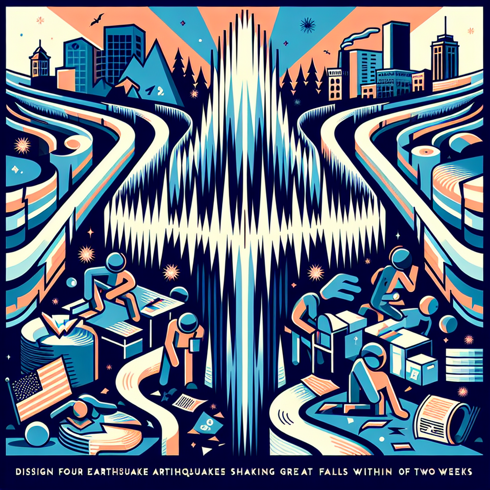
**Great Falls Shaken by Fourth Earthquake in Two Weeks, Sparks Seismic Interest**
Key Takeaways:
- Great Falls, Montana experienced a 3.7 magnitude earthquake on February 12, 2026.
- This marks the fourth tremor in the region in just two weeks, following earlier aftershocks.
- No major injuries or structural damages have been reported so far, but monitoring continues.
GREAT FALLS, MONTANA — “Earthquakes today” surged in online search interest after a 3.7 magnitude earthquake shook Great Falls, Montana on the evening of Thursday, February 12, 2026. The tremor, which occurred at 6:36 p.m., was the fourth earthquake felt in the region in the past two weeks, prompting renewed attention to Montana’s seismic activity.
Fourth Quake in Two Weeks Jolts Montana Residents
The earthquake was centered roughly 5.7 miles north of Great Falls at a depth of 6.2 miles, according to the U.S. Geological Survey (USGS). People across surrounding communities—including Sun Prairie, Ulm, Dutton, and Choteau—reported feeling the tremor. Though no injuries or significant property damage have been reported, the frequency of these quakes has drawn attention from both residents and scientists.
This latest quake follows a series of prior events: a 4.2 magnitude earthquake on January 29, a 2.7 magnitude tremor later that same day, and a 3.2 magnitude event on January 31. Seismologists classify these as likely aftershocks related to the initial January 29 quake. The back-to-back nature of these seismic events has ignited public curiosity and concern, driving the search term “earthquakes today” to trend rapidly, according to Google Trends data.
Montana’s Seismic Backbone: Why Here, Why Now?
While many Americans associate earthquakes with California and the Pacific Northwest, Montana sits along the Intermountain Seismic Belt, making western and central parts of the state seismically active. The Great Falls area, though not as quake-prone as western Montana, lies close enough to active fault zones to experience occasional tremors.
According to the Montana Regional Seismic Network, small earthquakes at magnitudes below 3.0 are common, with the state averaging 7 to 10 earthquakes per day. However, it is rare for this many quakes over magnitude 3.0 to be felt so close together, especially near populated areas like Great Falls.
Experts from the Yellowstone Volcano Observatory and Montana Tech’s Earthquake Studies Office have not ruled out the possibility that these tremors could be part of an active fault adjustment or a localized cluster brought on by stress shifts below the surface. The geological structures underlying this region remain under constant surveillance, thanks to a network of 42 seismic monitoring stations statewide.
Increased Monitoring and Public Awareness Likely
Though the Earth doesn’t often deliver dramatic quakes in Montana, its history is not free from danger. The devastating 7.3 Hebgen Lake earthquake in 1959 remains a stark reminder of the region’s seismic potential—it triggered massive landslides and caused 28 deaths. More recently, in 2017, a 5.8 magnitude earthquake near Lincoln was felt as far as Canada.
Given the recent seismic activity, local authorities have urged communities to stay informed and review earthquake preparedness plans. Websites such as KRTV Earthquake Readiness provide guides for home safety checks, emergency kits, and what to do during a quake. Although the recent quakes have not resulted in damage, officials reiterate the need for continued vigilance.
Geologists are expected to release updated seismic models for the area later this month as data from the recent tremors is analyzed. Both the Montana Bureau of Mines and Geology and national institutions like the USGS will be closely watching for any increase in magnitude or clustering patterns that could signal a more significant event to come.
Frequently Asked Questions
Q: Why is earthquakes today trending?
A: A 3.7 magnitude earthquake hit near Great Falls on February 12, 2026 — the fourth such tremor in just two weeks.
Q: What happens next?
A: More seismic data collection and continued monitoring by geological observatories to assess patterns or elevated risk.
#MontanaEarthquake #GreatFallsTremor #USGS #SeismicActivity #EarthquakesToday